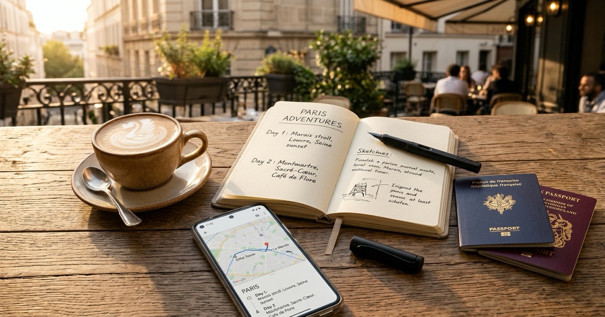
Google My Maps vs travel apps for trip planning
Google My Maps offers visual cartography, while travel apps provide schedules. Here is how they compare and how to combine them without manual pin-dropping.
By The Reel to Trip team
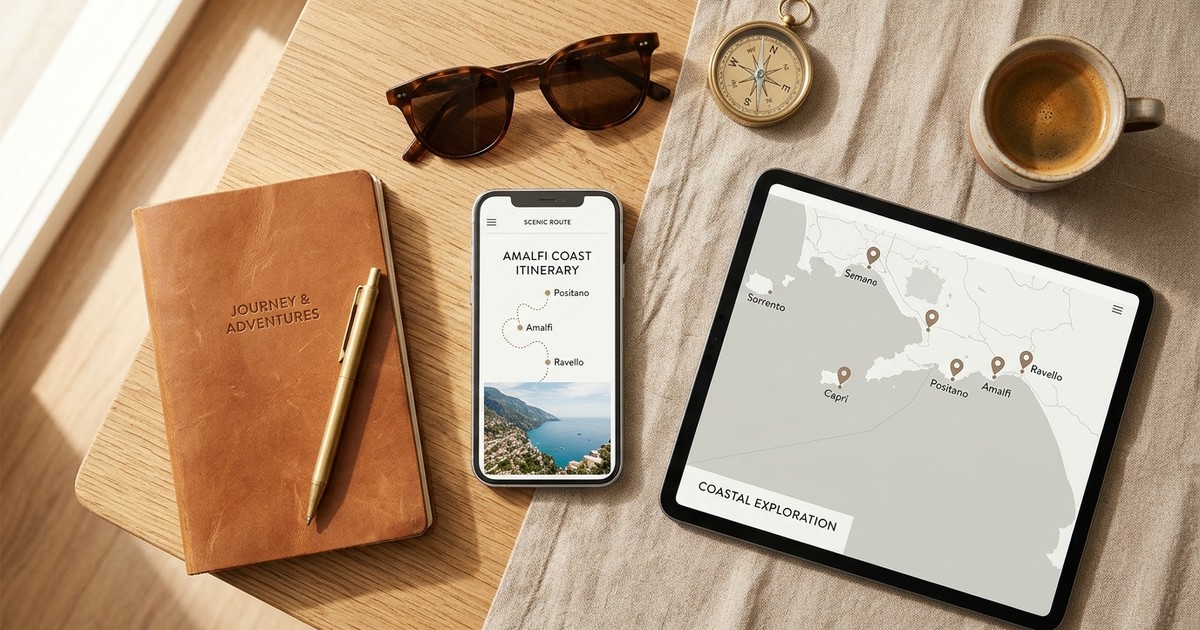
The choice between Google My Maps and dedicated travel itinerary apps is one of the most common dilemmas for trip planners. Visual planners swear by Google My Maps because it lets you color-code custom pins across multiple layers, draw routes, and understand city geography for free. In contrast, logistical planners favor dedicated itinerary apps like Wanderlog or TripIt because they organize days chronologically, centralize flight reservations, and offer polished mobile apps. However, both tools share a common blind spot: turning scattered travel recommendations from social videos into an organized itinerary without hours of tedious manual data entry.
What is Google My Maps best for?
Google My Maps is best for visual spatial planning, custom multi-layer map organization, and free road trip mapping. It allows travelers to drop color-coded pins, draw custom walking or driving boundaries, and immediately identify geographic clusters without paying subscription fees.
Because Google My Maps runs directly on Google's global mapping infrastructure, it gives travelers unparalleled flexibility when charting a destination before booking:
- Custom categorization with up to 10 layers: You can separate sights into distinct themes, such as bakeries, historical landmarks, scenic overlooks, and cocktail bars. Toggling individual layers on and off helps you focus on specific moments without cluttering your view.
- Bespoke icons and color palettes: You can assign custom icons and distinctive colors to differentiate morning coffee spots from late-night dinner reservations at a glance.
- Free collaborative editing on desktop: You can share an edit link with travel companions to brainstorm destinations together in a shared browser window without anyone hitting a paywall.
- KML and KMZ data export: Unlike closed travel applications, Google My Maps allows you to export your data to open formats or import geographic spreadsheets.
What are dedicated travel apps best for?
Dedicated travel apps are best for chronological day-by-day scheduling, centralizing booking confirmations, and mobile-first offline access. Platforms like Wanderlog, TripIt, and Travo structure vacations into timed morning, afternoon, and evening blocks while linking reservations directly to your calendar.
While a custom map tells you where a place is, an itinerary app answers when you are going to visit it:
- Structured chronological timelines: Itinerary apps divide your vacation into organized days, allowing you to sequence activities logically with estimated visit durations, opening hours, and transit times.
- Automated confirmation ingestion: You can forward flight confirmations, hotel bookings, and train tickets directly from your email inbox to assemble a master reservation binder.
- Native mobile applications with offline sync: Dedicated travel apps are purpose-built for smartphones, allowing you to access schedules, booking references, and confirmation codes even when underground or without international roaming data.
- Group polling and cost splitting: Many modern itinerary tools include built-in expense trackers and collaborative voting tools so friends can align on group budgets before departure.
Where do both Google My Maps and travel apps fall short?
Both tools fall short when handling modern visual travel discovery, specifically turning saved social media videos into sequenced itineraries without tedious manual copying. Google My Maps lacks an itinerary timeline and retired its standalone mobile editing app, while dedicated travel apps lock intelligent route optimization and offline sync behind paid subscription paywalls.
When attempting to build an authentic vacation from saved Instagram reels, travelers face severe friction on both sides:
- The manual transcription bottleneck: Google My Maps offers zero automation for social media links. Every cafe, viewpoint, and wine bar featured in your saved reels requires pausing the video, guessing the spelling, searching the venue on a computer, and creating a pin manually. If you have 30 saved reels, the process takes hours.
- The mobile usability gap of Google My Maps: Google officially discontinued the standalone My Maps mobile application. Viewing custom maps on your phone requires opening them inside a mobile browser or navigating through secondary menus in the main Google Maps app, where custom layers often lag or fail to support turn-by-turn walking guidance.
- Zero scheduling in Google My Maps: A Google My Map is essentially a flat collection of pins. It has no calendar dates, no concept of morning or afternoon pacing, and no tool to prevent you from scheduling five distant attractions on the same afternoon.
- Expensive subscription paywalls in travel apps: Travel apps frequently gate their best features—such as automated route optimization, unlimited place attachments, and offline mobile maps—behind recurring Pro subscriptions costing between $40 and $60 per year.
How does Reel to Trip bridge the gap?
Reel to Trip converts Instagram reels into geographically clustered daily itineraries with Google Maps walking routes, reducing manual searching and pinning. Free plan: 1 trip, up to 5 reels; unlimited trips and reels: $5 one-time upgrade (no recurring subscription)
Instead of choosing between a chaotic pile of pins and an expensive travel binder, Reel to Trip merges the best aspects of both workflows:
- Automated video-to-coordinate extraction: Forward your favorite travel reels directly to @reeltripper on Instagram or paste links into your browser. Our AI scans audio, captions, and on-screen visuals to extract exact venue coordinates without manual typing.
- Multi-reel folder merging: Rather than treating each video as an isolated note, Reel to Trip combines multiple reels into a unified destination plan, de-duplicating spots and organizing them by neighborhood.
- Intelligent geographic clustering: Sights that sit within walking distance are grouped into sensible morning, afternoon, and evening blocks, eliminating the backtracking common with unsequenced map pins.
- One-tap Google Maps walking export: Every generated travel day creates a multi-stop walking route that opens instantly in standard Google Maps on your phone for live, turn-by-turn GPS navigation.
- Browser-based free plan: Free plan: 1 trip, up to 5 reels; unlimited trips and reels: $5 one-time upgrade (no recurring subscription) No app download is needed.
How should you choose between Google My Maps and a travel app?
Choose Google My Maps if you are planning a visual road trip with many flexible stops and prefer custom color-coded territory boundaries over strict hourly schedules. Choose a dedicated travel app if you need to coordinate complex flight bookings, track shared group expenses, and manage formal hotel confirmations.
Here is a practical decision framework based on how you research and travel:
- Use Google My Maps when: You love mapping out broad regional driving journeys, require custom icon styling for dozens of niche categories, and have time to curate pins on a desktop computer before your trip begins.
- Use a dedicated travel app when: You are traveling with a group that needs to split bills, or your journey involves multiple connecting flights, train passes, and hotel check-in vouchers that benefit from automated email parsing.
- Use Reel to Trip when: Your primary travel inspiration comes from saved Instagram reels, and you want an automated, walkable daily itinerary that opens directly in Google Maps without spending your evening copying links by hand.
How to turn saved reels into a mapped itinerary without manual pin-dropping
To turn saved reels into a mapped itinerary without manual pin-dropping, copy the link of any travel reel or forward it directly to @reeltripper on Instagram. Reel to Trip parses the video visuals, captions, and audio to extract mentioned venues, groups neighboring spots into sensible walking days, and opens your daily routes in Google Maps with zero manual typing.
Here is the four-step workflow to transform your saved folder into a walkable itinerary:
- Collect your destination reels: Open your Instagram saved collection and select the reels you saved for your upcoming destination.
- Share or paste the links: Forward the clips directly to @reeltripper via Instagram DM or paste the reel URLs into the Reel to Trip web planner.
- Review the extracted spots: The AI extracts every restaurant, cafe, boutique, and viewpoint mentioned in the footage, automatically clustering neighboring locations into balanced daily schedules.
- Open directly in Google Maps: Tap the export button for any travel day to launch a live, turn-by-turn walking route in Google Maps on your phone for seamless navigation on the ground.
For a deeper dive into organizing your saved travel content across tools, read our guides on how to turn saved reels into a trip itinerary, comparing tools that turn reels into trips, exporting Instagram saved places to Google Maps, and understanding Google Maps stars vs trips.